Commercial RE & Brand
Real Estate Drone Video: What It Shows Buyers That Photos Can't
Real estate drone video shows location, access and scale that photos can't. How to plan a listing film and what commercial drone photography includes.
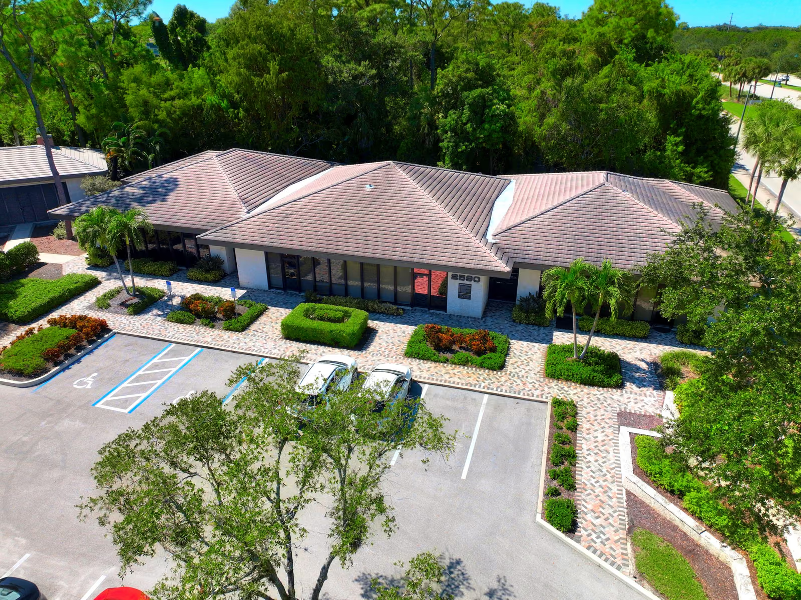
Real estate drone video shows buyers what photos can’t: where the property sits, how they get to it, and how big it is relative to everything around it. That is why it matters most for waterfront, golf, large-lot and commercial listings, where the location is half of what is being sold.
Key takeaways
- Aerial video answers location, access and scale, the questions a photo set leaves open.
- Sixty to ninety seconds is a strong length for a listing film.
- Commercial sites benefit most when the film labels nearby destinations and roads.
- Fly stills and video in one visit so the whole listing matches.
What does real estate drone video show that photos don’t?
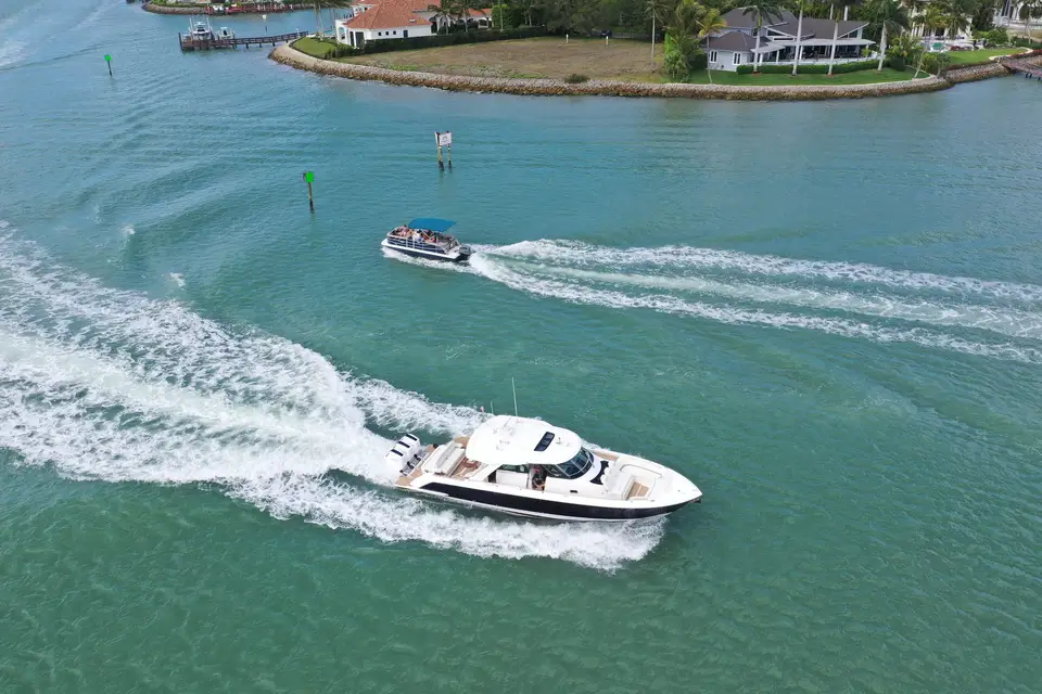
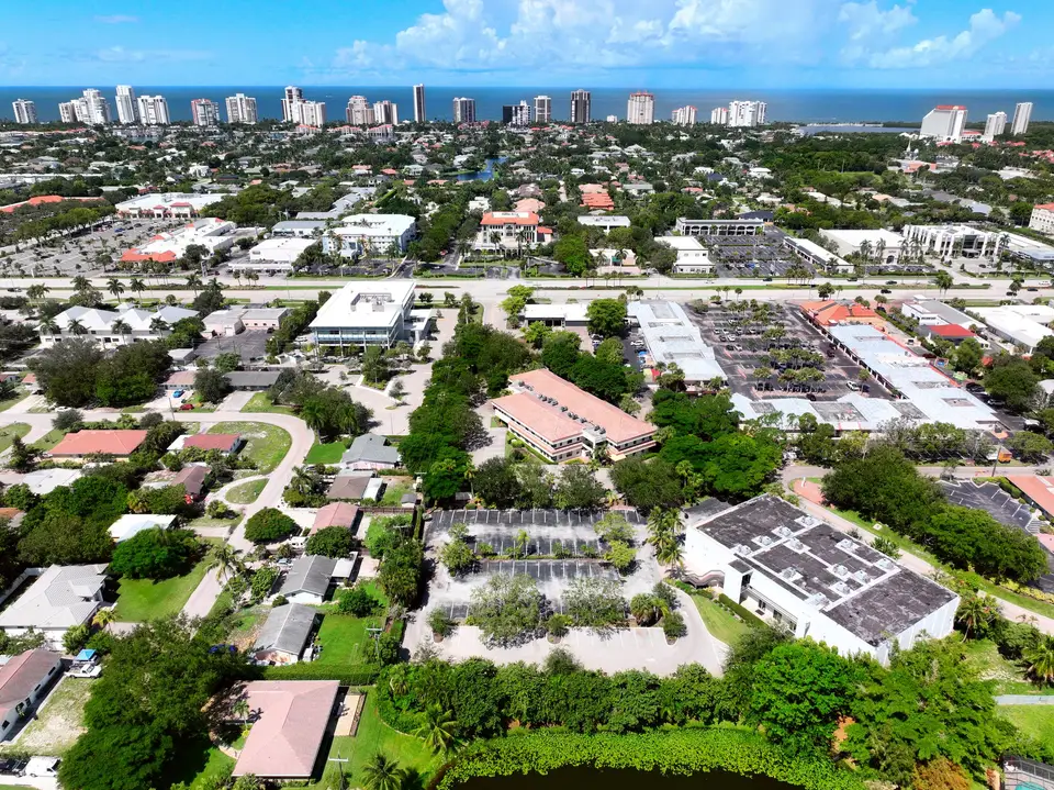
A buyer looking at a photo set learns what the property looks like. They don’t learn what it is near, how far the water is, how the road reaches it or whether the neighbors are 40 feet away or 400. Those are the questions that decide whether they call.
Aerial video is the one medium that answers all of them in a single continuous shot. It also matches how people shop: they want to understand the place before they spend time on the details.
PDS shoots aerial only, and that is deliberate. Interiors are covered by every listing already. The establishing, contextual view from the air is the part a phone walkthrough can’t produce, and it is the part that sells location.
Which properties benefit most?
| Property type | What aerial video adds | Priority |
|---|---|---|
| Waterfront and marina | Water frontage, dock access, boating channels | High |
| Golf and community | Course views, amenities, how the community flows | High |
| Land and development sites | Parcel size, road access, surroundings | High |
| Commercial and retail | Parking, traffic, neighbors and visibility | High |
| Standard in-town home | Lot size and neighborhood context | Useful |
What should a commercial real estate drone photography shoot include?
Commercial buyers and tenants ask about access, visibility and the neighborhood, so a commercial real estate drone photography shoot is planned around those answers:
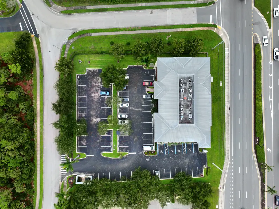
- A parcel overview that shows the building, parking and bordering roads from straight above.
- Site context that shows neighbors, frontage and highway access.
- An anchor shot such as a sunset, a skyline or a waterfront view for the cover of the marketing package.
- Labeled callouts for nearby restaurants, shopping and roads, added in the edit so viewers see why the location works.
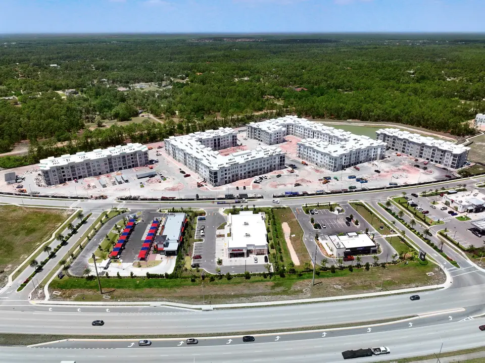
What does a listing film look like?
The best listing films are built as a sequence rather than a collection of highlights:
- Open with the setting. The lot, the water, the neighborhood.
- Approach the property the way a visitor would, along the road or drive.
- Move around the structure to show roof, grounds and how the building sits on the land.
- Close on the anchor, the view or amenity that sells the place.
Here is a finished example: a marketing video for a commercial site in Fort Myers that combines aerial footage with map views, road access and surrounding growth.
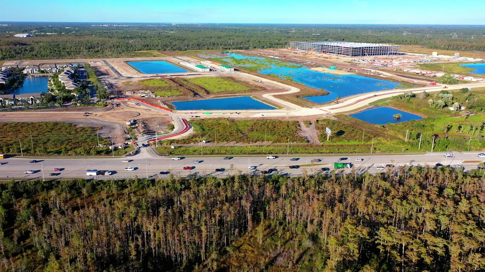
Every film is edited in-house, and delivery covers vertical and horizontal formats so it plays anywhere the listing lives, from the MLS to social.
How to plan the shoot
Three decisions make the footage better:
- Time of day. Golden hour flatters waterfront and Gulf-facing sites. Midday works for clear views of parcels and roofs.
- Airspace. Southwest Florida has plenty of controlled airspace around airports. Check any address with our airspace checker before you commit to a date.
- One visit for everything. Stills and video from the same flight share the same light. Our aerial video and photography service covers both.
Pricing for aerial media starts at $200, and the pricing page shows what is included. A licensed pilot matters here too: see why to hire a Part 107 pilot. If you want ideas beyond listings, read ten ways businesses use drones.
Is real estate drone video worth it?
How long should a real estate drone video be?
Should I order drone photos and video together?
Does PDS shoot interiors?
What does commercial real estate drone photography include?
How much does real estate drone video cost?
Sell the location with a real estate drone video.
Request a quote