Survey & mapping · statewide Florida
Florida Aerial Survey Technologies — survey-grade maps from a single drone flight.
PDS captures the site. FAST, our survey sister company, turns it into volumes, topos, and linework accurate enough to build from. One crew, one flight, measurements your engineers trust.
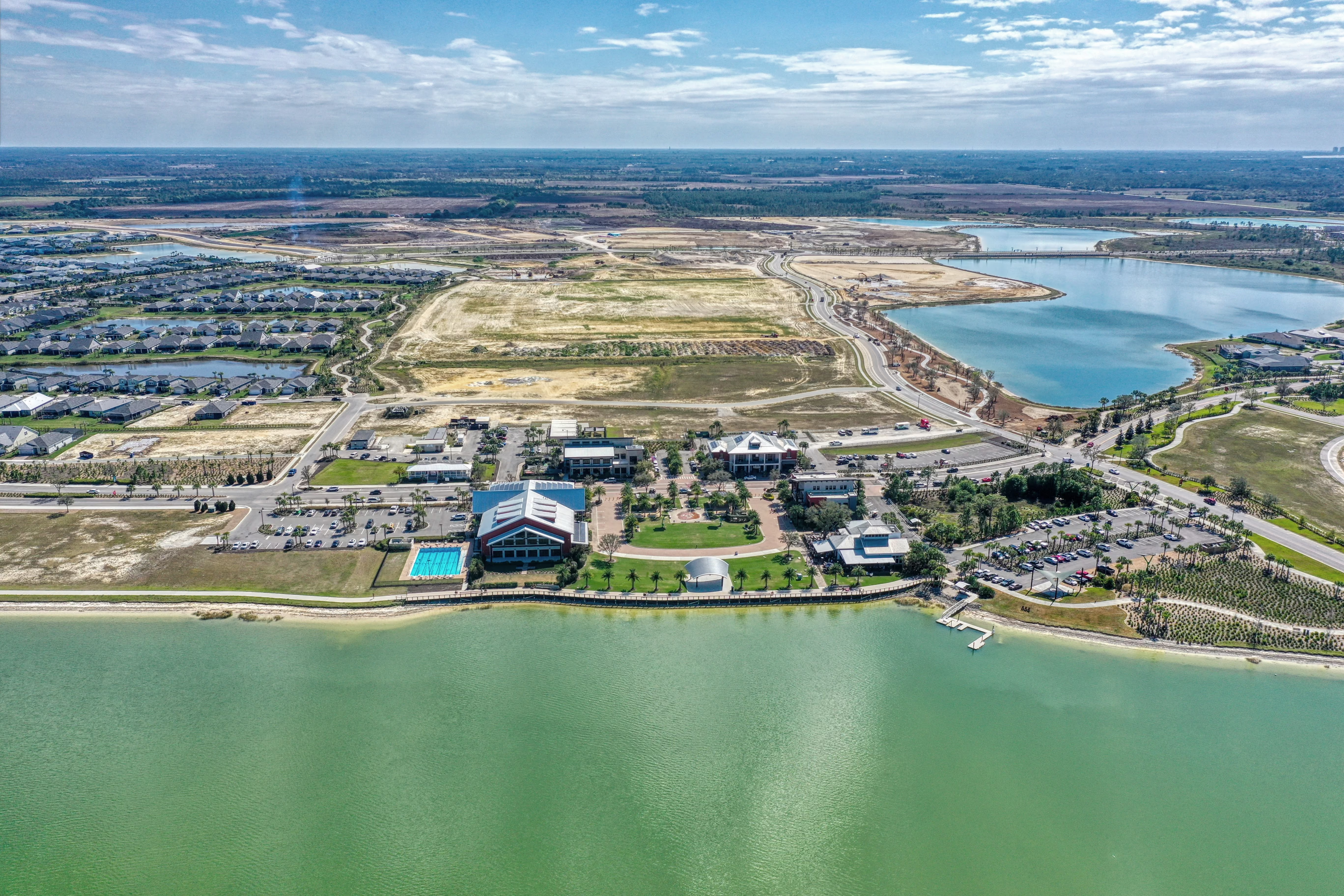
What we deliver
Four survey products, one capture
Fly once and the same data set feeds every deliverable below. That keeps the field time short and the numbers consistent across your reports.
- 01
Stockpile volumes
Measure material to the cubic yard. A short flight becomes a volume report your earthwork crew and auditors can stand behind.
- 02
Topographic surveys
Contour maps and surface models of the whole site, with dense point coverage and no need to walk every foot of ground.
- 03
Earthwork & cut/fill
Track dirt moving week to week. Compare each surface against design to read cut and fill at a glance.
- 04
Linework & site features
Curbs, pavement edges, and site features drawn as CAD-ready linework your engineers can drop straight into the plan set.
Accuracy & turnaround
Numbers you can put in front of an auditor.
Every map is anchored to ground control points, so the coordinates line up with real-world survey control instead of a guess. That is the difference between a nice picture and data an engineer will sign off on. Progress documentation is not a survey, and we keep the two clearly separate.
- 0.10 FTData accuracy achieved in geospatial processing
- 7 DAYSAverage turnaround for projects under 50 acres
- 4%Typical tolerance on cut-fill and stockpile calculations
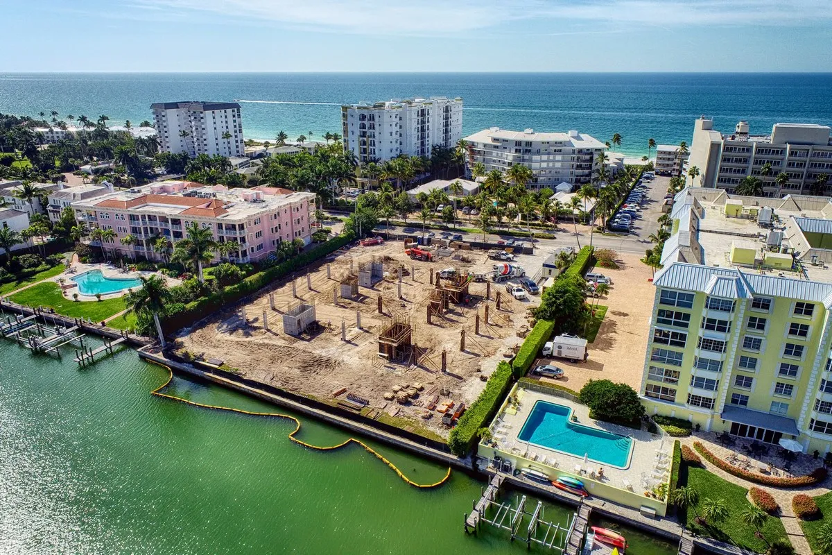
See the measurements
Every survey ties back to a living model.
The map does not stop at a PDF. Compare dated captures side by side and measure distances and areas in the Construct Viewer as the site changes. Volume totals come back to you in the FAST volume report.
Explore the Construct ViewerHave a site that needs measuring?
Send the location and what you are tracking. FAST will come back with a survey quote and a turnaround date.
Or reach PDS: (239) 330-1015 · info@prodrones.com