Storm before & after
A timestamped baseline before the season, then a rapid re-fly after, for instant proof on a claim.

COMPLIANCE + LANDSCAPING
Dated aerial records of your community's grounds, roofs, and common areas, for compliance, reserve studies, hurricane season, and a clear season-over-season history the board can keep.
The problem
In many Florida communities the grounds, roofs, and common areas change faster than a board can track from a drive-through, and photos live on a dozen phones. A dated aerial record, captured season over season, gives your board one clear history of the property for reserves, storm claims, and renewals, side by side and easy to share.
What you get
A timestamped baseline before the season, then a rapid re-fly after, for instant proof on a claim.
A season-over-season record of the grounds, so the board can track how the property matures and share a clear, dated picture at renewal.
Condition of common-area roofs and buildings, feeding reserve studies and inspections without anyone on a ladder.
Defensible visual records for SIRS, reserve planning, and covenant enforcement, kept and dated.
The proof
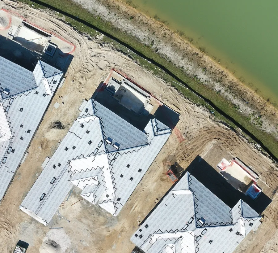
Every flight is dated and kept, so you can slide between any two visits: before and after a vendor, or before and after a storm. Drag the handle.
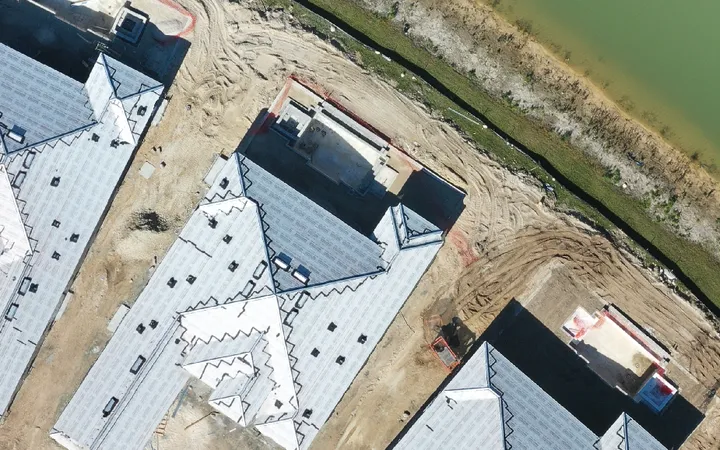
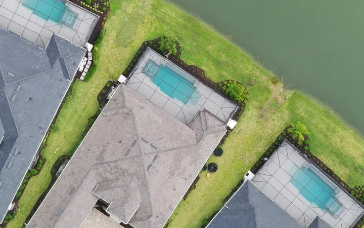
Because mapping captures everything, we built AI that detects and removes people from source imagery before the aerial map is built, and we confine deliverables to common areas. In Florida and most states, no attorney sign-off is required for a licensed operator documenting association property. We keep the camera on legitimate association interests, and hand your board a written record instead of a privacy headache. Our drone inspections and aerial photography cover roofs, grounds, and common areas on a single visit.
The Landscape Viewer
Every flight we make lands in the Landscape Viewer, a private web page built for your community. There is no app to install. Open the link, pick a date, and the whole property loads from above as one sharp aerial map. Board members, the manager and the landscaper all look at the same dated record, so questions about the grounds get answered with a link instead of a site walk.
Each visit is saved by date. Pick a flight from the menu and the whole community loads as one stitched aerial map, sharp enough to count palms.
Drag the slider between two dates to see what changed: new sod, a dead palm, lake bank erosion, storm damage.
Drop a pin and add a note. It stays on the map for the board, the manager and the landscaper.
One click turns every note into a branded PDF. Share the link with the board, or download the original files. You own the data.
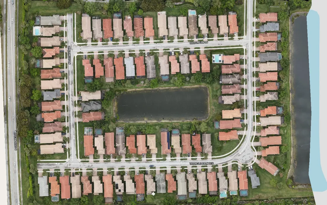
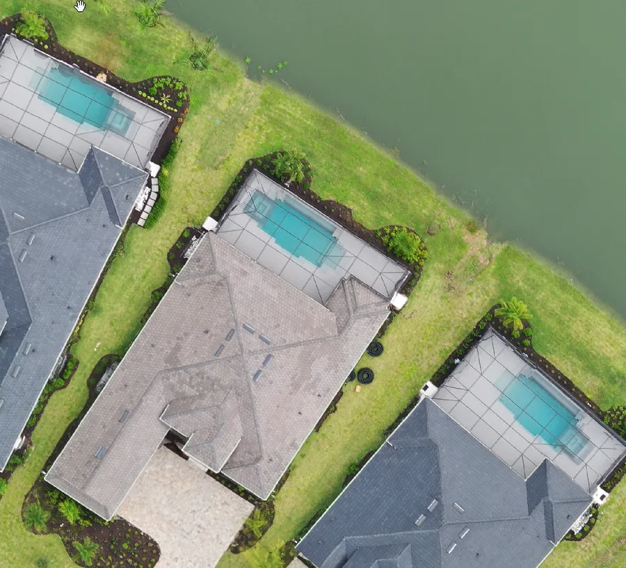
Start here
The deliverable
Every job ships with an interactive Viewer — the part you cannot get anywhere else — plus the raw files.
See the Viewer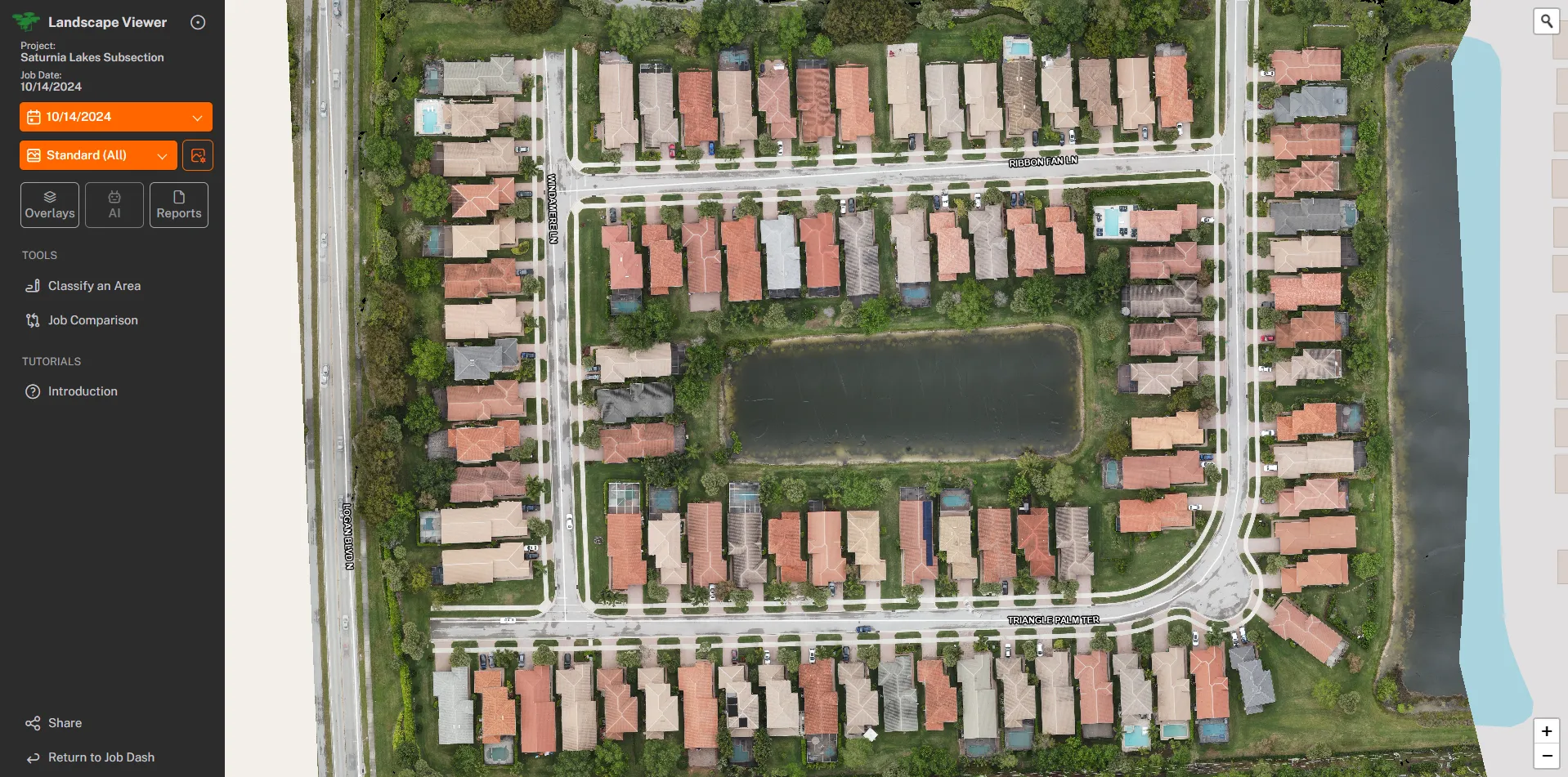
Questions