
Services
LB8247Survey-grade data you can fly every month.
Survey-grade volumes and topos from the air, delivered across Florida by FAST with accuracy your engineers can trust.
- LicensedFAST survey business (LB8247)
- TopoVolumes, elevations, and linework
- CAD/GISExport formats engineers use
- ViewerInteractive site model
What you get
Deliverables
Stockpile volumes
Volumetric reporting on typical stockpiles, with the base plane and toe defined the way your reporting needs.
Topographic surveys
Elevation maps built to centimeter-level accuracy using RTK positioning (satellite corrections precise to the centimeter) and ground control, subject to site conditions and control quality.
Earthwork cut and fill
Track grading progress month over month against your design surface.
Orthomosaics and linework
A single measurable top-down image of the whole site (an orthomosaic), plus roads, utilities, and ALTA linework, delivered in the CAD and GIS formats your engineers work in.
Interactive site model
Explore and measure the site yourself in a Viewer instead of a static PDF.
How it works
The process
Set control
FAST places and shoots ground control so the data holds up for reporting.
Fly the site
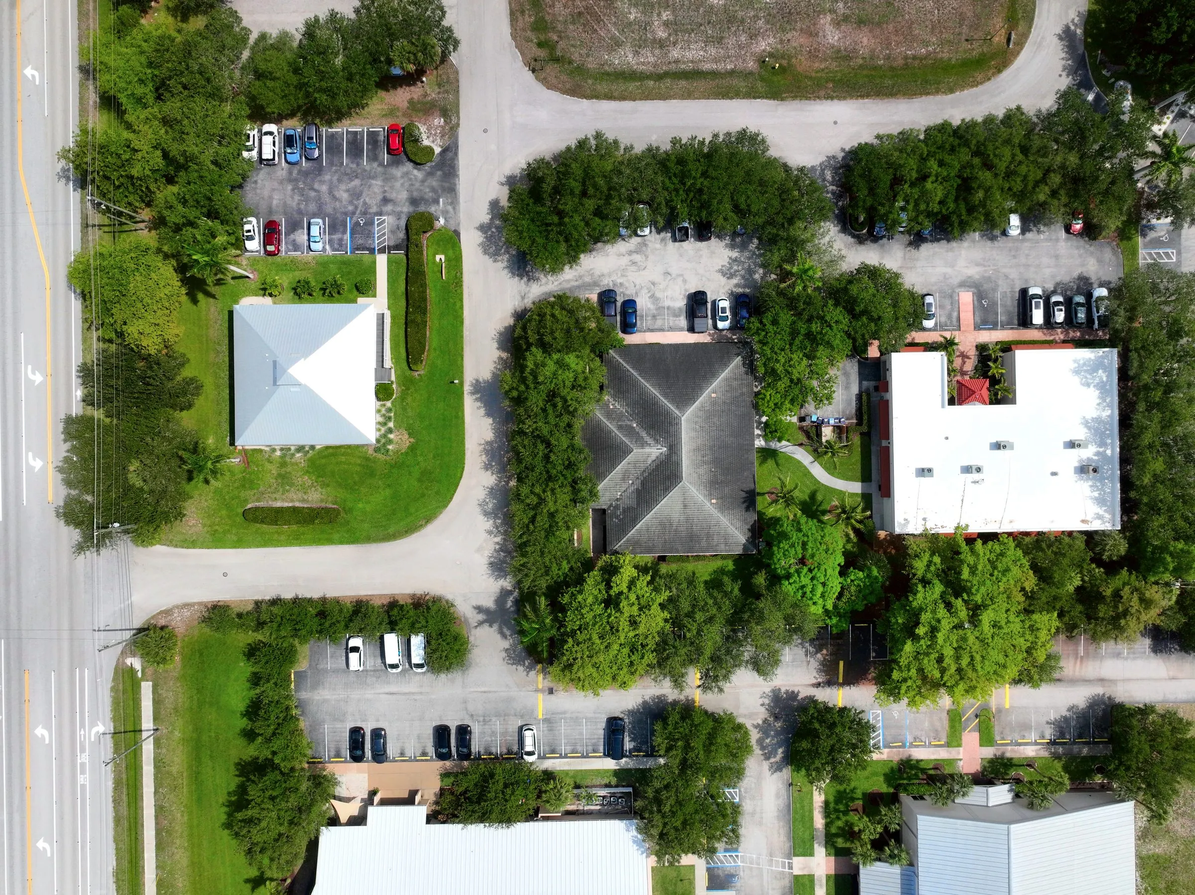
One flight captures the whole site for volumes, topo, and orthomosaic.
Process to spec
Data is processed to your tolerances and exported to your CAD or GIS format.
Measure in the Viewer
The finished site model opens in an interactive Viewer with measurement tools, replacing the flat PDF.
Proof
The numbers
- FAST survey business (LB8247)
- Licensed
- Volumes, elevations, and linework
- Topo
- Export formats engineers use
- CAD/GIS
- Interactive site model
- Viewer
How we compare
What you get with PDS.
Every row is a real deliverable. Check what matters to your project.
| What you get | FAST (PDS) | Generic aerial provider | Consumer drone + DIY |
|---|---|---|---|
| RTK / PPK survey-grade accuracy | Yes | Rare | Not available |
| Ground control points (GCPs) | Deployed every flight | Sometimes | Not available |
| CAD / GIS export formats | Yes | Not available | Not available |
| Licensed survey business (LB8247) | Yes | Not available | Not available |
| Interactive site Viewer | Included | Not available | Not available |
| Stockpile volumes + cut/fill | Yes | Sometimes | Not available |
Capabilities reflect typical offerings; confirm specifics with each provider.
The survey side is FAST
You get accuracy, tolerance, cut and fill, topo, and ortho. The work is delivered by Florida Aerial Survey Technologies (FAST), a PDS sister company that holds a Florida survey and mapping license (LB8247). That license is the point: it means the data holds up for permitting, reporting, and engineering review anywhere in Florida, and you still get one relationship for both your media and your survey data.
Cheap enough to fly often
Give a developer accurate volumes and a topo the engineers can actually use, and they will fly it every month. The interactive Viewer replaces the static PDF: the whole site opens as a model with measurement tools, so anyone on the team can check a distance or compare a grade themselves. Volume totals come to you in the FAST report. One avoided re-stake or one grading dispute settled early usually covers the monthly flight.
Developing land? See land development. Moving earth? See construction.
The deliverable
One flight becomes a living model.
Every job ships with an interactive Viewer — the part you cannot get anywhere else — plus the raw files.
See the Viewer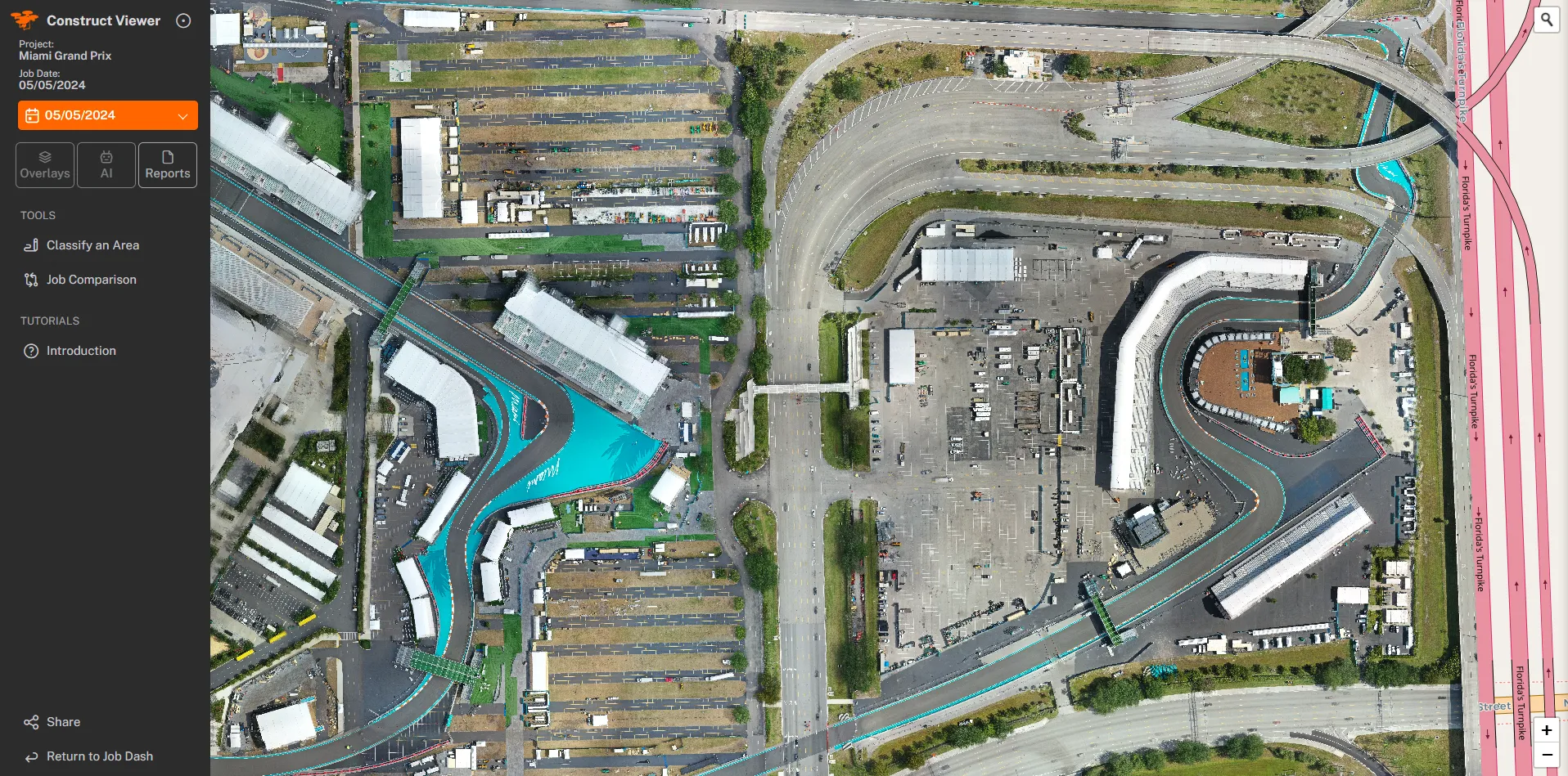
Questions