Survey & Mapping
Drone Survey vs Traditional Survey: Which One Fits Your Site
Drone survey vs traditional survey: how they differ on field time, coverage, cost and legal weight, and which one fits a Florida site, via FAST.
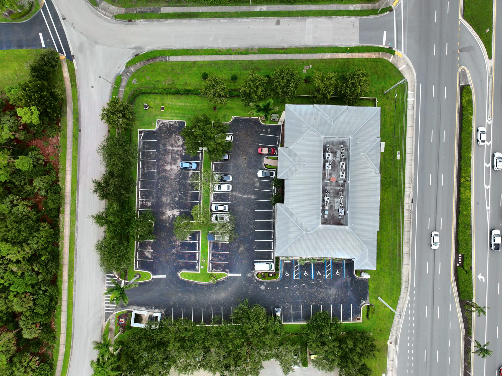
In the drone survey vs traditional survey question, the drone wins on large, open sites where you need the whole surface, volumes or repeat measurements, and a traditional crew wins on tight boundaries and tree-covered ground. Both need a licensed surveyor behind the numbers. Here is how they compare, and how to pick for your site.
Key takeaways
- A drone flies the whole site in far less field time than a crew walking it.
- A drone records the full surface, so you can pull a measurement later without a return trip.
- Legal boundary corners and heavily wooded ground still belong to a traditional crew.
- Our survey work is delivered by FAST, a licensed survey business, so the numbers have someone accountable.
How a traditional survey works, and where it slows down
A traditional survey sends a crew across the site with a total station or a GPS rover. They measure the points they choose, one at a time, and the surveyor builds the drawing from those points. It is precise, it carries legal weight when a licensed surveyor stamps it, and it has been the standard for generations.
The weak spots are time and coverage. A large tract takes days to walk. Piles and steep slopes are slow and unsafe to climb, so they get fewer points. And if someone later asks about a spot nobody measured, the crew has to come back.
How a drone survey works for the client
A drone covers the whole site in one visit and delivers a measurable site map of the entire surface. You are not limited to the points a crew picked. Any distance, area, elevation or volume on the site can be measured afterward from the same data, and repeat flights show how the ground changed.
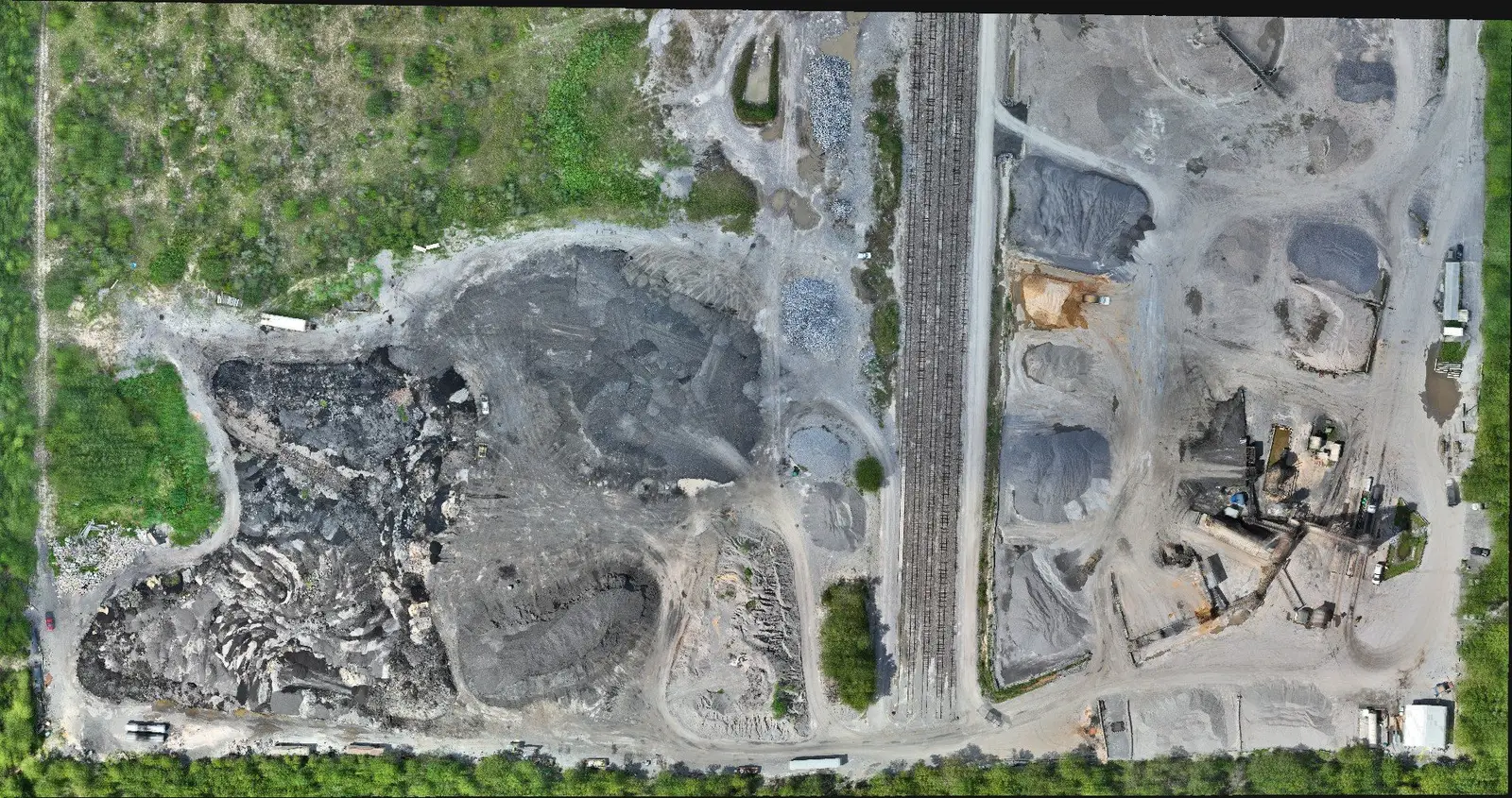
That repeatability is the real advantage on sites that change. A land development project graded in March looks different in June. A second flight gives you the change, measured, without rebuilding a crew schedule.
Drone survey vs traditional survey, side by side
| Factor | Drone survey | Traditional survey |
|---|---|---|
| Field time on a large site | Short, one visit | Days |
| Coverage | The whole surface | Selected points |
| Measure something nobody planned for | From the same data | Return trip |
| Stockpile and earthwork volumes | Yes | Slow, crew on the piles |
| Repeat monthly to track change | Yes | New crew visit each time |
| Dense tree canopy over the ground | Limited | Yes |
| Stamped legal boundary corners | Surveyor still required | Yes |
| People on unstable ground | None needed | Throughout |
What drone surveys are best at
Stockpile volumes. Yards that track material for invoices, haul tickets and inventory can measure every pile without anyone climbing one. Monthly flights give a running count.
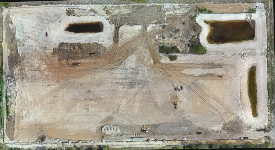
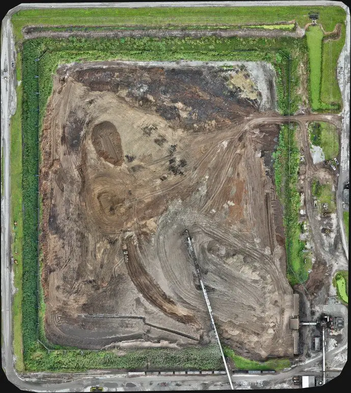
Earthwork and grading. Compare the site against the plan after each phase, see cut and fill, and catch grading errors while they are still small fixes.
Large linear and open sites. Roads, interchanges, drainage and big tracts are exactly the work a crew takes weeks to walk.

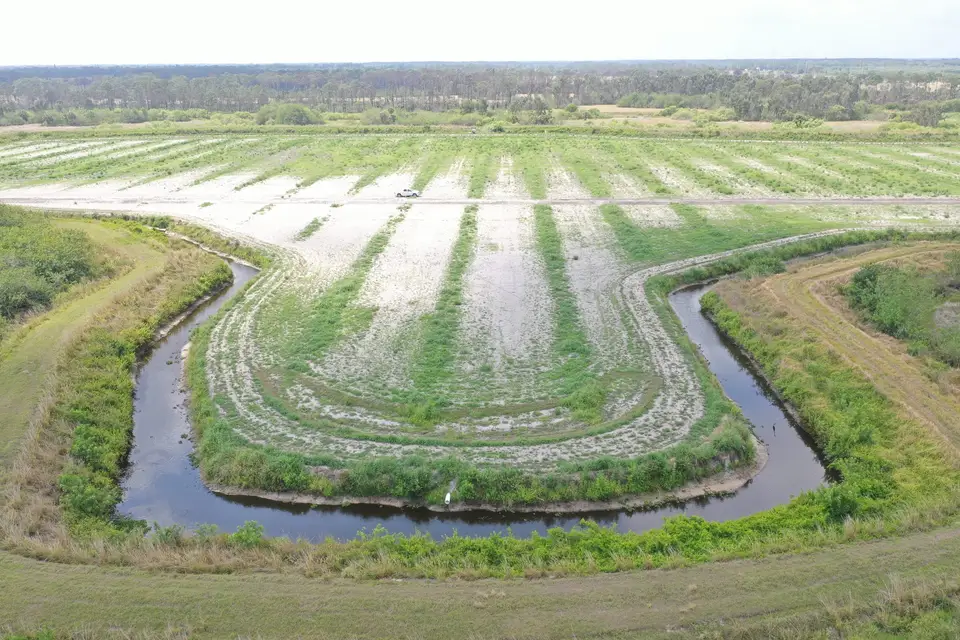
For more on volumes, see how stockpile measurement works and the broader list in 10 jobs a drone does better than the old way.
Who stands behind the numbers
A drone does not make a survey trustworthy by itself. Survey work needs control on the ground, a careful process and a licensed professional who checks the result. That is why our survey and mapping work is delivered by our sister company, Florida Aerial Survey Technologies (FAST), a licensed survey business founded in 2018 (license LB8247). The drone collects. The licensed surveyor stands behind what comes out. Read more on our survey and mapping page.
Skip that step and you get a nice-looking map nobody can rely on. Do it properly and you get data an engineer, a lender or a county can work from.
When to pick which
Choose a drone survey when
Choose a traditional crew for tight boundary surveys, parcels with dense tree cover over the ground, and any job that hinges on a few stamped legal corners. The strongest projects use both: the drone for fast, full-surface data, and the licensed surveyor to anchor and certify it.
Not sure which your site needs? Describe it on the contact page and we will say which route makes sense, including when the answer is a crew on foot.
Common questions
Is a drone survey as good as a traditional survey?
Does a drone survey cost less than a traditional survey?
Can a drone survey replace a licensed surveyor?
What can a drone survey measure that a ground crew struggles with?
When is a traditional survey still the better choice?
Map your site faster, with numbers you can stand behind.
Request a quote