Stockpile volumes
Volumetric measurement within 4% accuracy with defined base planes, for inventory and monthly reconciliation you can report on.

SURVEY VIA FAST
LB8247Stockpile volumes, topos, and earthwork cut and fill delivered under FAST, our licensed survey sister company, with PDS media and progress on the same site.
The problem
Sending a ground crew out every time you need a volume or a grade is slow and expensive, so it does not happen often enough to catch problems early. Flown data changes the math: stockpile volumes within 4% accuracy and centimeter-level topos, turned around fast enough to track a site monthly instead of quarterly.
What you get
Volumetric measurement within 4% accuracy with defined base planes, for inventory and monthly reconciliation you can report on.
RTK and GCP-controlled topos at roughly 1 to 3 cm horizontal and 2 to 5 cm vertical, delivered in your engineers' format.
Grade-to-plan comparisons that track mass grading progress and flag overcut before it costs you.
Measurable orthomosaics and CAD-ready linework for roads, utilities, and ALTA, ready to drop into your workflow.
The proof
One pass captures everything you need to prove, plan, or sell. Hover the points to see what we pull from a single flight.
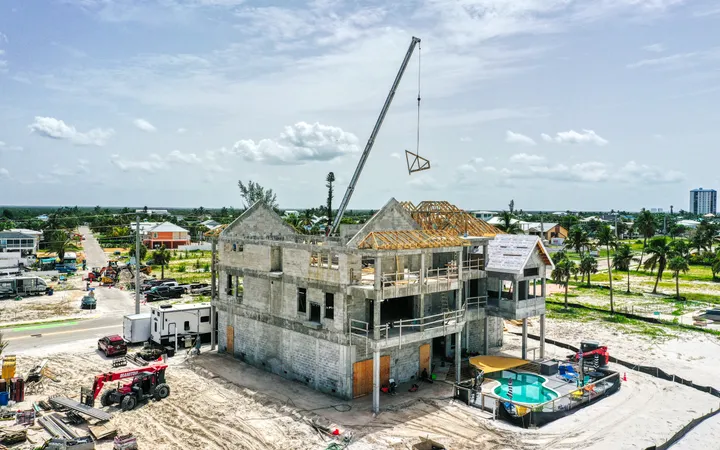
Survey-grade work belongs with a licensed survey company, so the data on this page is produced and delivered by Florida Aerial Survey Technologies, our sister company, with published accuracy and tolerances. The advantage of the pairing is one flight: you get the survey deliverables from FAST and the progress media from PDS on the same site. Explore and measure the model yourself in an interactive Viewer instead of squinting at a static PDF. We also produce cinematic aerial media for marketing on the same flight.
Start here
The deliverable
Every job ships with an interactive Viewer — the part you cannot get anywhere else — plus the raw files.
See the Viewer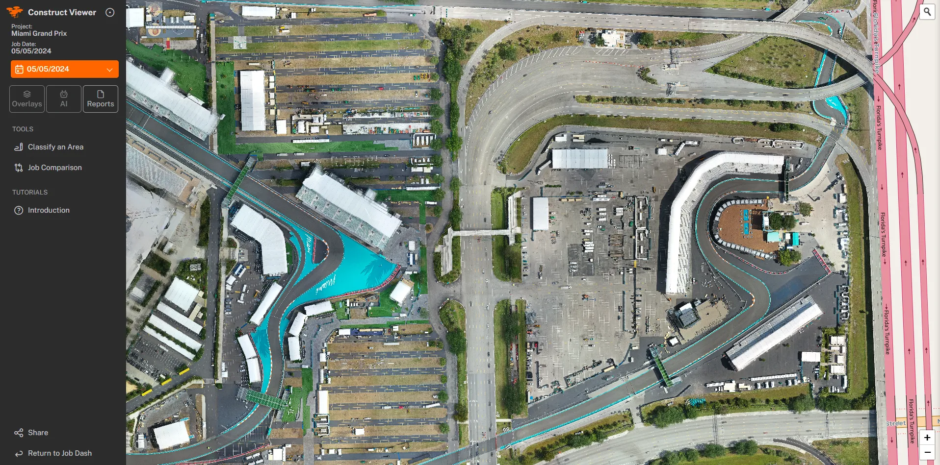
Questions