Construction
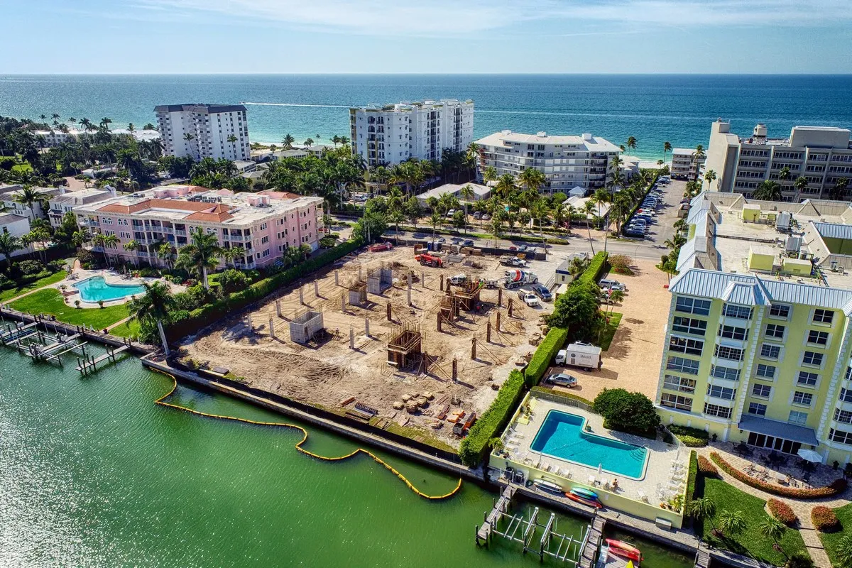
Arthrex Naples campus, from the air
A 12+ month aerial record of the Arthrex Naples site work, the canal-to-fields conversion, GPS-referenced sets, and volumetric analysis via FAST.
The brief
- Client
- Arthrex
- Goal
- Document the conversion of a canal into recreation space and soccer fields so the site team could assess progress against schedule and watch for layout and scheduling conflicts.
- Scope
- GPS-referenced aerial progress sets at regular intervals across 12+ months, with our sister company FAST running volumetric analysis on the earth moved.
What we delivered
- 12+ GPS-referenced aerial progress sets
- Dated site overviews compared against the build schedule
- Tracking of heavy machinery and site layout changes
- Volumetric analysis of earth moved, via FAST
What we flew
Arthrex selected our site work team to document the conversion of a canal into recreation space and soccer fields at their Naples headquarters. The aerials let the site team assess progress against their schedules, track heavy machinery, and check the worksite for layout and scheduling conflicts, without walking the whole site every week.
The scope we documented
Our part of the picture was the site work, the canal-to-fields conversion that set up the campus. We captured it with GPS-referenced aerial progress photos at regular intervals across more than 12 months, tracking heavy machinery and layout changes, and our sister company, Florida Aerial Survey Technologies (FAST), ran volumetric analysis on the amount of earth moved. For context: the surrounding campus is a $100 million project, six stories, over 300,000 square feet, that began vertical construction in 2018. The aerials we delivered were the running record of the ground work that made it possible.
Why it worked
Every set was GPS-referenced, so the whole series lined up consistently across the life of the project. That consistency is what turns a folder of photos into a measurable record: compare any two dates and see exactly what moved, what rose, and what is still ahead of schedule.
Results
- GPS-referenced photo sets
- 12+
- Months documented
- 12+
- Canal to recreation & soccer fields
- Site work