Communities
Bonita National, from a board's-eye view
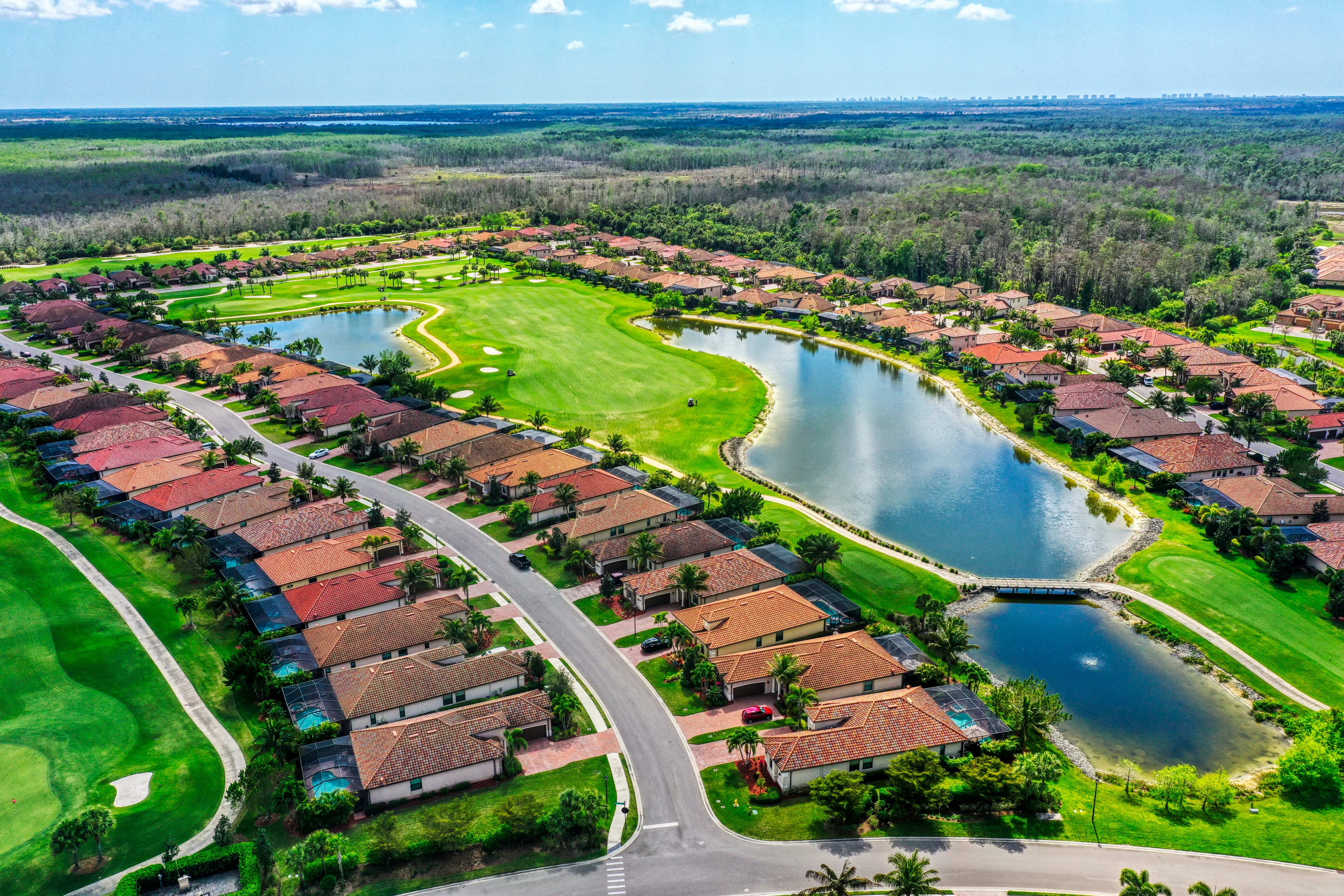
A community aerial set for a Bonita Springs golf community, plus a Landscape Viewer baseline the board uses to hold grounds vendors accountable.
The brief
- Client
- Bonita National Golf & Country Club
- Goal
- Give the board marketing-grade aerials of the community and a repeatable way to track landscaping and grounds condition across the property.
- Scope
- One aerial shoot for lifestyle imagery, plus a full-community capture set up as a dated baseline in the Landscape Viewer.
What we delivered
- Aerial stills and video of the fairways, amenities, and entry
- A full-community orthomosaic as the season-one baseline
- Landscape Viewer access with before and after comparison
- Point-of-interest notes the board can hand to grounds vendors
What we flew
Bonita National is a big golf community, and the board wanted two things from one visit: imagery that makes the place look as good as it is, and a way to actually see the grounds without walking every street. We flew the fairways, ponds, amenity center, and entry for the lifestyle set, then captured the full community top-down as a measured baseline.
The lifestyle shots sell the community. The baseline does the quieter work: it is a dated, full-property record the board can come back to every season.
The deliverable
The community capture lives in the Landscape Viewer as a before-and-after baseline. When a grounds vendor reports work done, the board opens the Viewer, drops a point of interest, and compares this month to the baseline. Mulch missing from a bed, a section that never got refreshed, a tree down after a storm: it is all visible without anyone driving the property.
This is the HOA and community playbook, where the aerials sell the place and the Viewer keeps the vendors honest.
Results
- Flight covers the whole community
- 1
- Captures compared side by side in the Viewer
- 2
- Whole-community view in every capture
- Aerial
- Baseline for vendor conversations
- Dated
More work