HOA & Landscaping
Drone for Landscaping: How Landscapers Catch Problems Early
A drone for landscaping lets crews and HOA boards spot dying trees, dry turf and eroding banks from above, with dated records from $25/mo.
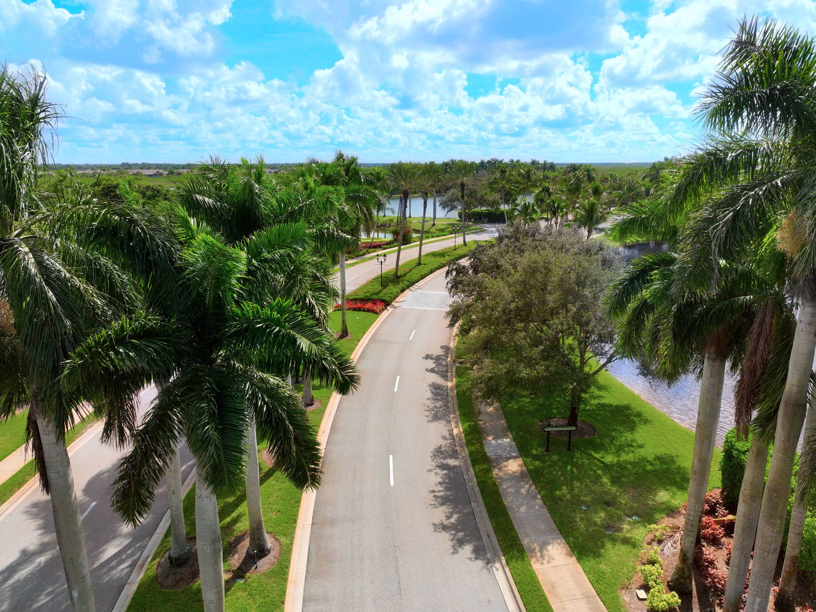
A drone for landscaping gives you the view of the property that no one gets on foot: every bed, tree line, lake bank and turf zone on one flight, dated and comparable to last month. It finds dying trees, dry turf and eroding shorelines early, while they are still a small job. This post covers what that looks like in practice and what it costs.
Key takeaways
- Color and texture changes from the air reveal tree stress, dry turf and erosion before they are obvious at eye level.
- Monthly flights build a dated timeline that shows what improved and what is getting worse.
- The Landscape Viewer is a standalone service for landscapers and HOA boards, from $25/mo.
- The drone locates problems. The crew still does the work, with less searching.
What a drone sees that a crew on foot misses
Walking a large property, you see what is in front of you. A diseased tree can hide for months behind healthy neighbors. A dry zone in the turf looks like a mowing pattern from the ground. A lake bank losing a few inches a season does not announce itself.
From the air the same things stand out. A canopy going off-color, a brown stripe that follows an irrigation line, a bank edge that no longer matches last season’s. These are the problems that eat landscape budgets slowly, and they are easiest to fix at the first sign.
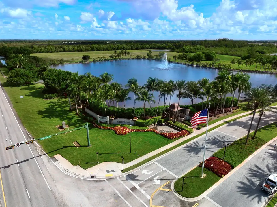
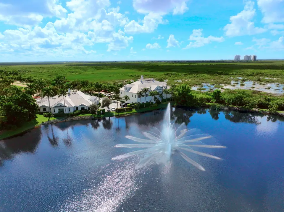
Drone for landscaping: the jobs it handles
Tree health. Find stressed or dying trees across the whole property and put a location on each one, so the arborist or crew knows exactly where to go.
Turf and irrigation. Dry patches and uneven color point to broken heads, bad coverage or a zone that stopped running. Catching one early saves sod, not just water.
Shorelines and slopes. Compare lake banks and swales between two dates to see what moved, and show a board the change instead of arguing about it.
Storm response. Fly after a storm to find downed limbs and damaged trees across the property in one visit, then compare to the pre-storm record. The pre-hurricane documentation guide shows why that baseline matters.
Contract accountability. For HOAs, landscaping is often the largest budget line. A regular record lets the board see what was maintained and what was not, with dated proof rather than impressions.
Why the timeline matters more than any single flight
One flight tells you the state of the property today. A series of flights tells you what is changing, which is what a landscape manager or a board needs to decide anything. Slide between two dates and the answer is visible: this bed improved, this tree is not recovering, this bank has moved.
The Landscape Viewer is an online view of every flight over your property. You can compare dates, measure, mark up findings with labels and share them with the crew, the manager or the board.
| The job | Without aerial records | With the Landscape Viewer |
|---|---|---|
| Find a dying tree | Walk every bed and guess | Seen from above, dated and located |
| Track a dry or stressed area | Notice once it spreads | Caught on the next flight |
| Shoreline erosion | Argue about it later | Two dates side by side |
| Check contract work | Drive the property, take notes | Review every common area from above |
| Report to the board | Vague observations | Located findings and a clear timeline |
Who uses it: landscapers and boards
Landscape contractors use it to find problems before the client does, and to prove the work they did. A dated before and after is the best answer to “what are we paying for?” See drone services for landscaping companies.
HOA boards and managers use it to see the whole community without driving every street, and to hold contracts to account. See HOA communities. Resident privacy is handled: we built a system that automatically detects and blurs people, and flights stay on common areas.
What it costs
The Landscape Viewer starts at $25 per month. Flights and reports are scoped to the size of the property, and the full range is on the pricing page. The usual math: one irrigation failure caught early, one tree replaced on time or one dispute settled with dated proof covers a lot of months.
Common questions
How does a landscaper use a drone?
How much does landscape drone inspection cost?
How often should the property be flown?
Does a drone replace the ground crew?
Is the Landscape Viewer only for landscapers?
Give your grounds a second pair of eyes.
Request a quote