Aerial video, inspections, and site documentation for property teams across Florida and the U.S.
Aerial video · Inspections · Progress docs · Florida-based, flying nationwide
We fly, film, and document construction sites, commercial listings, and communities across Florida, and travel for select projects nationwide. You get marketing-ready aerial media plus dated records you can measure, all from one flight.
- Flying since 2015
- Rapid turnaround available
- Fully insured
SERVICES
What we do.
Flights that capture what you need. Software that helps you make sense of it all.
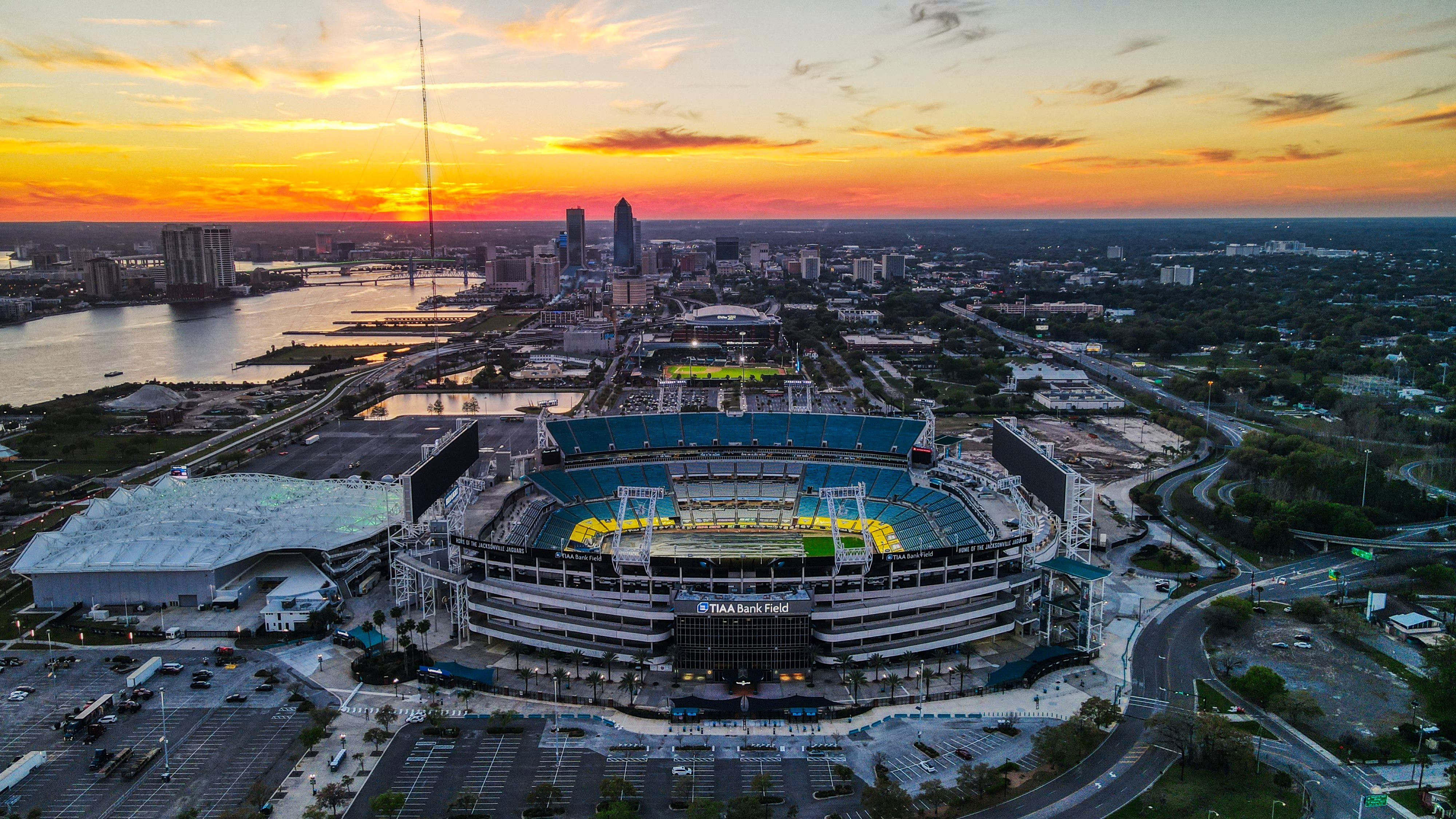
 01Aerial Video & PhotographyCinematic aerial media: aerial-only, flown across Florida and nationwide, edited in-house.4K masters · raw + colored · rapid turnaround
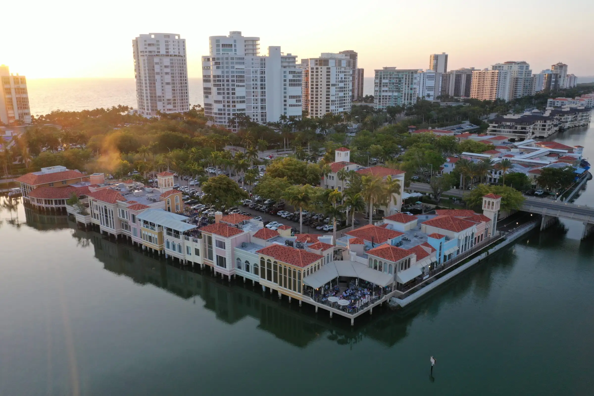
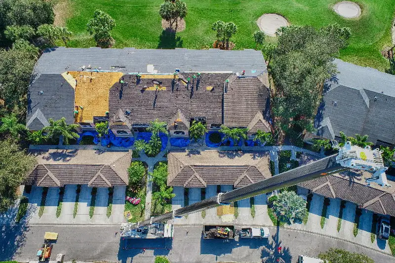 02InspectionsConstruction, insurance, and owner inspections: located, timestamped, documented.Dated + located photos · report PDF
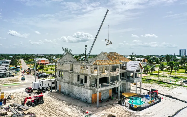
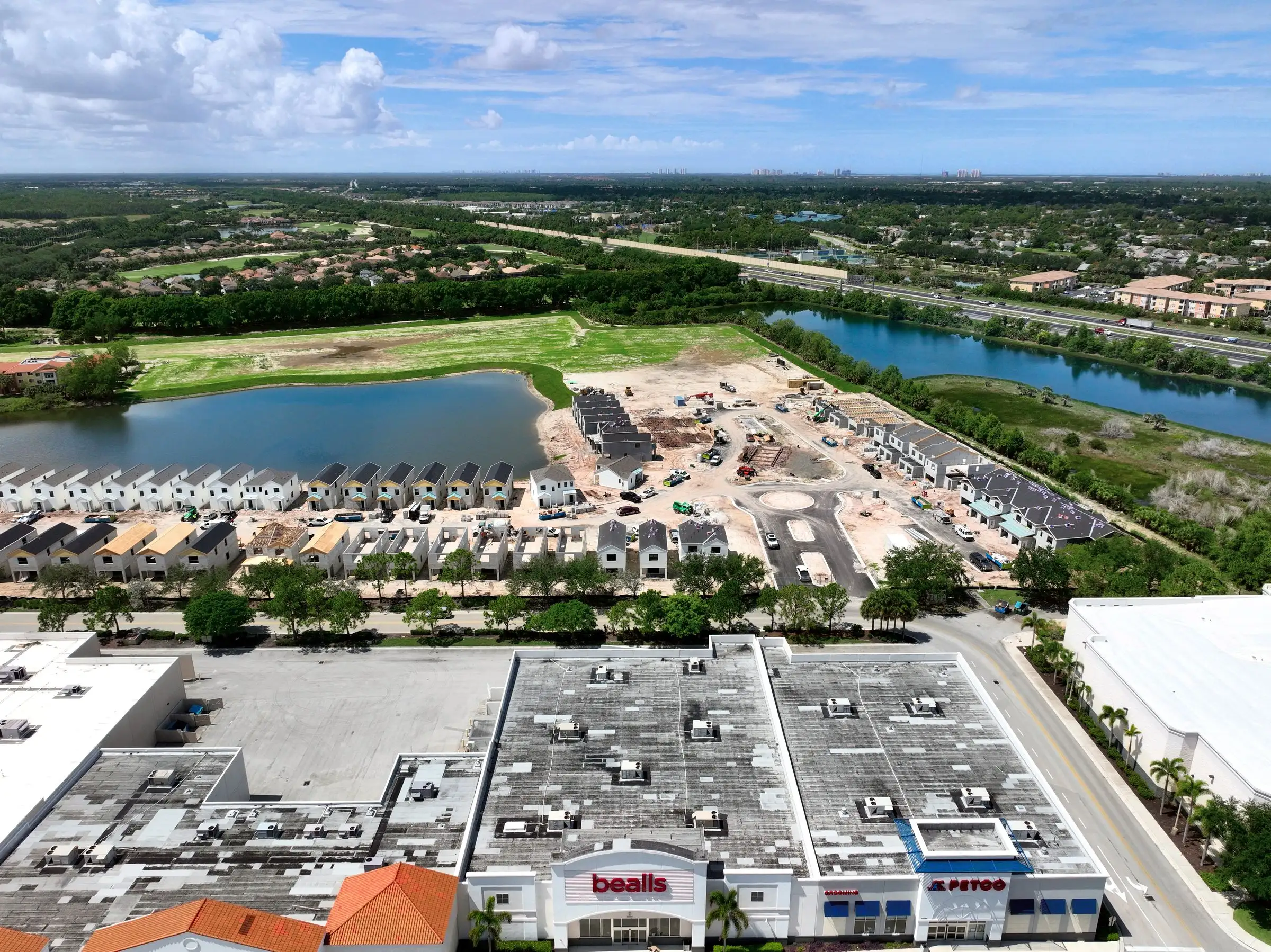 03Progress DocumentationFast dated, branded progress photos. Add the Construct Viewer when you need the map.Branded photos · viewer link
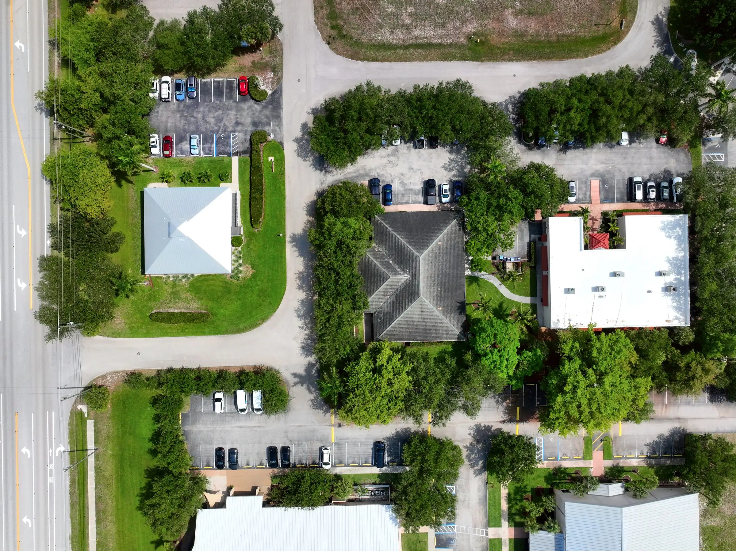 04Survey & MappingSurvey-grade volumes and topos through Florida Aerial Survey Technologies (FAST).Volumes · topos · linework
WHO WE WORK WITH
Who we work with.
Construction, communities, commercial property and more. See how we help teams like yours.
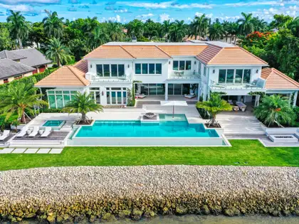
- Commercial Real EstateCinematic listing video that moves deals
- ConstructionProgress docs and Construct Viewer
- LandscapingWin bids and prove the work with aerial
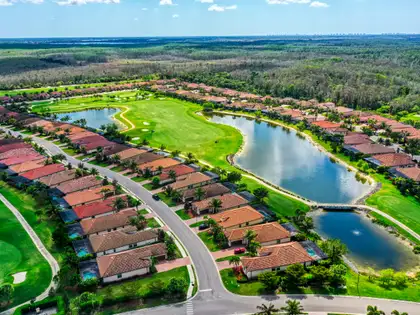
- HOA & CommunitiesCompliance, reserves, and storm records
- Roofing & InsuranceStorm baseline and claim documentation
- Hospitality & BrandDestination storytelling
- Land DevelopmentStockpile volumes and elevation maps
THE WORK
Recent work.
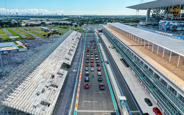
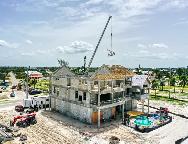
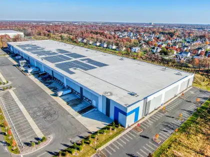
Real projects across Florida and the U.S., each tagged with the service behind it.
ONE FLIGHT
One flight, many answers.
The drone goes up once. The same pass becomes your marketing hero shot, a dated, located inspection record, and dated measurements for the site. The points below map each use.
PROOF
By the numbers.
- Cities flown
- 65+
- Flights completed
- 3,000+
- Years in business
- 10+
- Insured
- Fully
 Arthrex
 Bonita National
- Founders Square
 Miami Grand Prix
 CPRanin
- JD Construction
- Pinnacle
- Waller Design
- Pulte
- Babcock Ranch
- Grainger
- McGarvey Development
- TORO
- Toys for Tots
VOICES
What clients say.
We started with one flight for roof violations and now we fly quarterly. With over 800 homes and 10 lakes, the drone photos help us assess roof conditions, check lake banks for washouts, give vendors directions, and plan event layouts. The time we've saved has been fantastic.
The quality of work and the speed of delivery are greatly appreciated. We've really pushed to utilize drone photography in our marketing more often, and there is most certainly more to come.
AFTER THE FLIGHT
After the flight, explore it in a Viewer.
Every flight can become a live, dated model you open in your browser: dated progress, annotated defects, and grounds season over season.
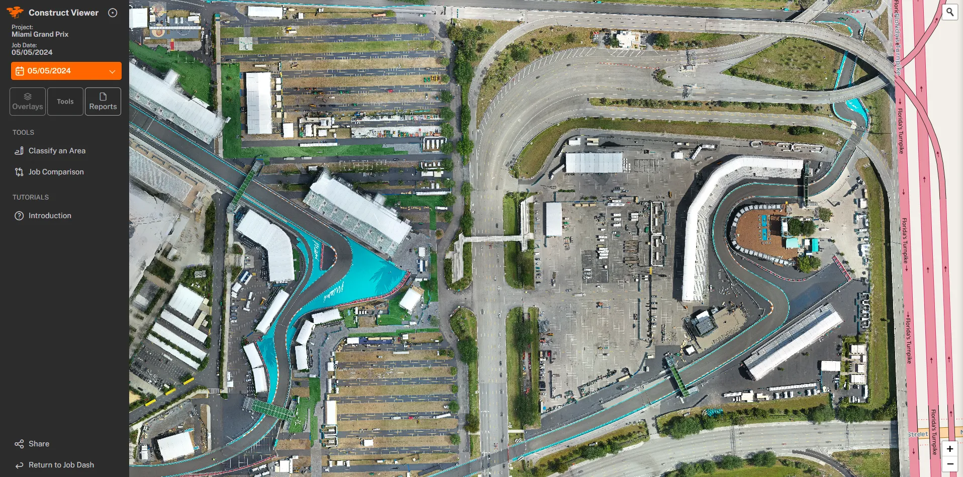
● CONSTRUCT VIEWERDated map-style imagery, job comparison, classification, and reports.
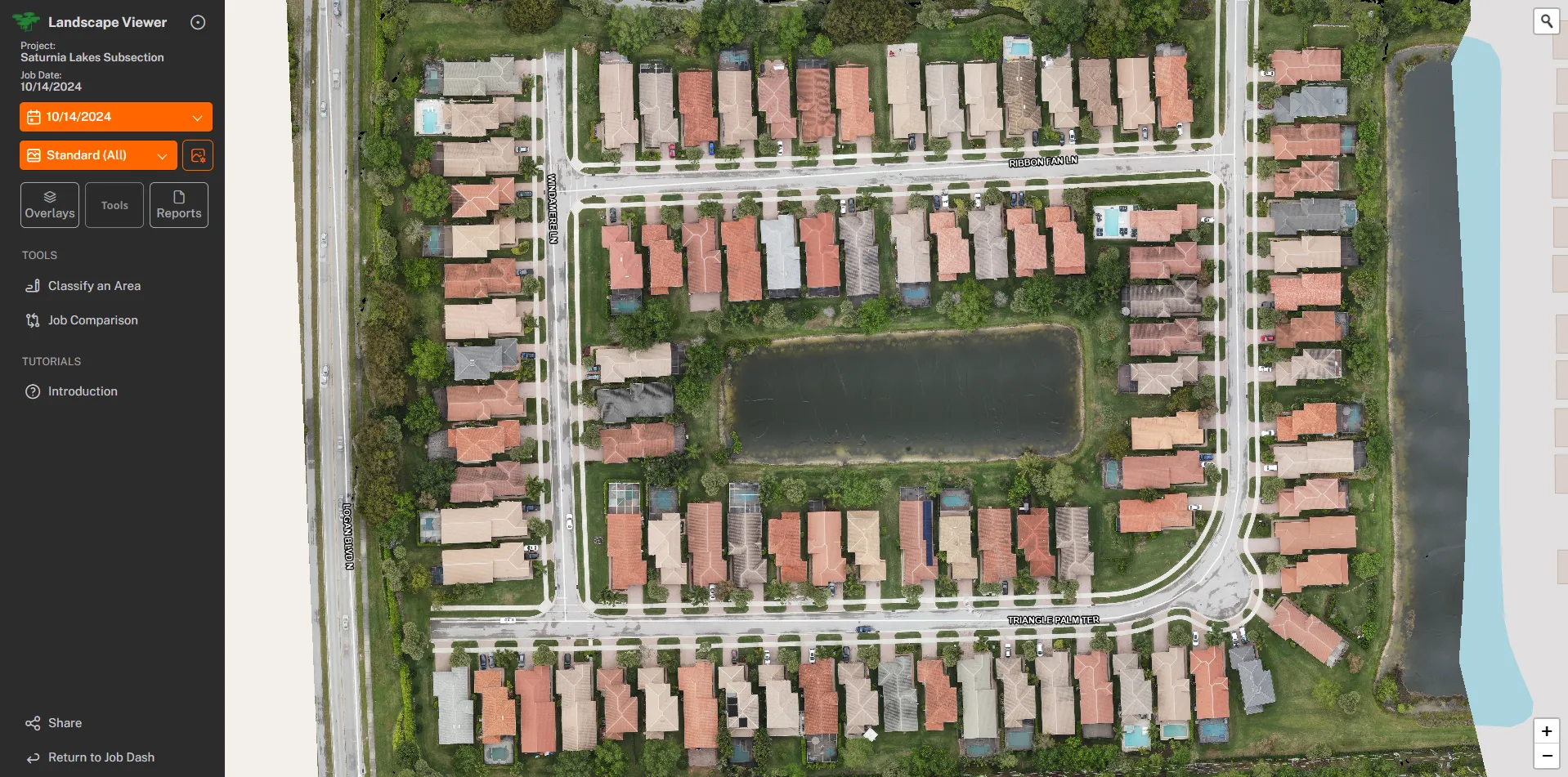
● LANDSCAPE VIEWERGrounds, season over season.
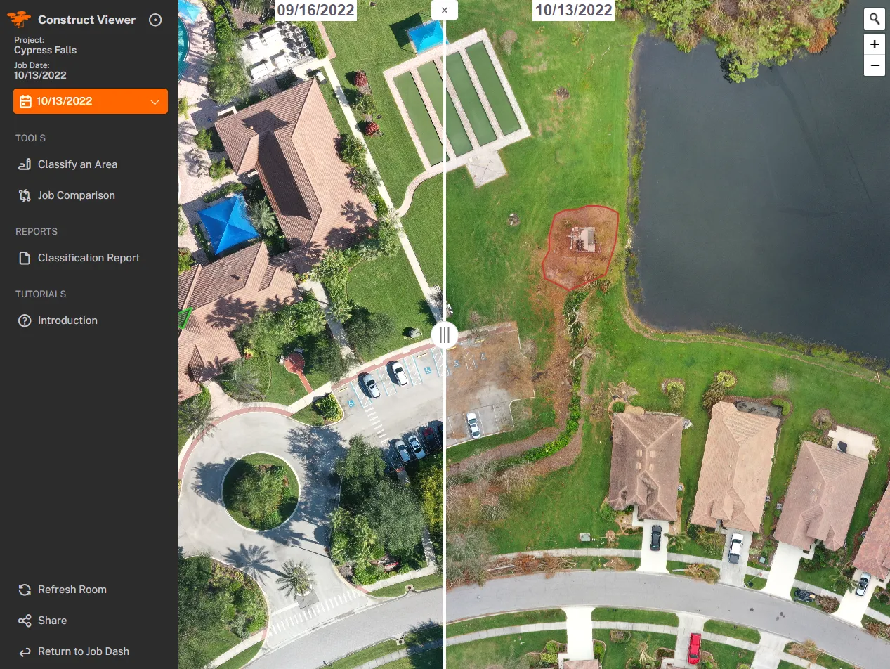
● BEFORE / AFTERCypress Falls, pre and post storm.
Not sure what you need?
// NOT SURE WHAT YOU NEED?
Answer 3 quick questions and we'll point you to the right service.
WE RECOMMEND
RAPID TURNAROUND · FAA PART 107 · INSURED